
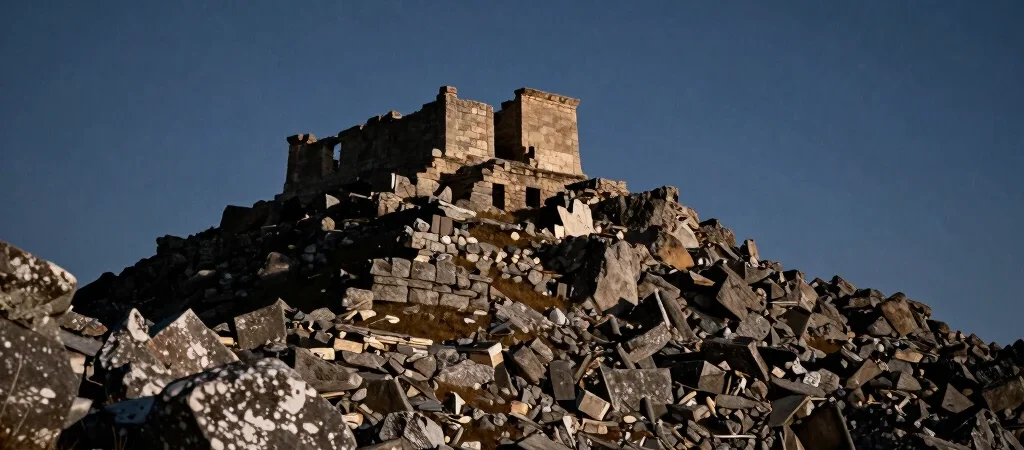
Dense canopy vegetation in the high Andes has concealed human architectural endeavors for centuries, preserving sites off the radar of mainstream archaeology. Recent airborne lidar surveys penetrating the thick forest cover have mapped extensive agricultural terraces and massive stone foundation grids across ridges previously thought uninhabited. The sheer scale of engineering at these altitudes raises vital questions regarding ancient labor organization and structural techniques.
Subsurface Imagery Challenges Early Chronologies
Digital terrain models stripped of vegetation canopy show a complex network of causeways connecting stone enclosures to natural glacial watersheds. Preliminary ceramic shards recovered from surface layers date to known pre-Inca cultures, yet the precision of the lowest masonry courses points to advanced quarrying methods. Surveyors noted interlocking block joints fitted without mortar, exhibiting tolerances under one millimeter.
Analyzing Precision Cuts in Isolated Bedrock
Alternative theorists often attribute such precision to lost technologies or external intervention, but experimental archaeology offers more grounded explanations involving copper chisels, abrasive slates, and sheer patient craftsmanship. The true anomaly lies not in magic, but in how an isolated population organized the transport of multi-ton megaliths across treacherous cliff faces without draft animals.
Sifting Verified Structural Data from Speculation
The high-altitude terraces of Peru serve as a reminder that the historical record is far from complete. As excavation teams prepare for systematic stratigraphy digs, the documented structural grid stands as empirical evidence of unrecorded engineering feats. Our role remains unchanged to chronicle what the instruments reveal while leaving open space for future evidence.